Oryukdo Skywalk (오륙도 스카이워크)
Oryukdo Skywalk (오륙도 스카이워크)
 – Homepage
www.bsnamgu.go.kr
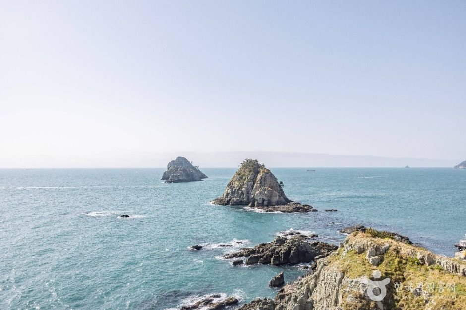
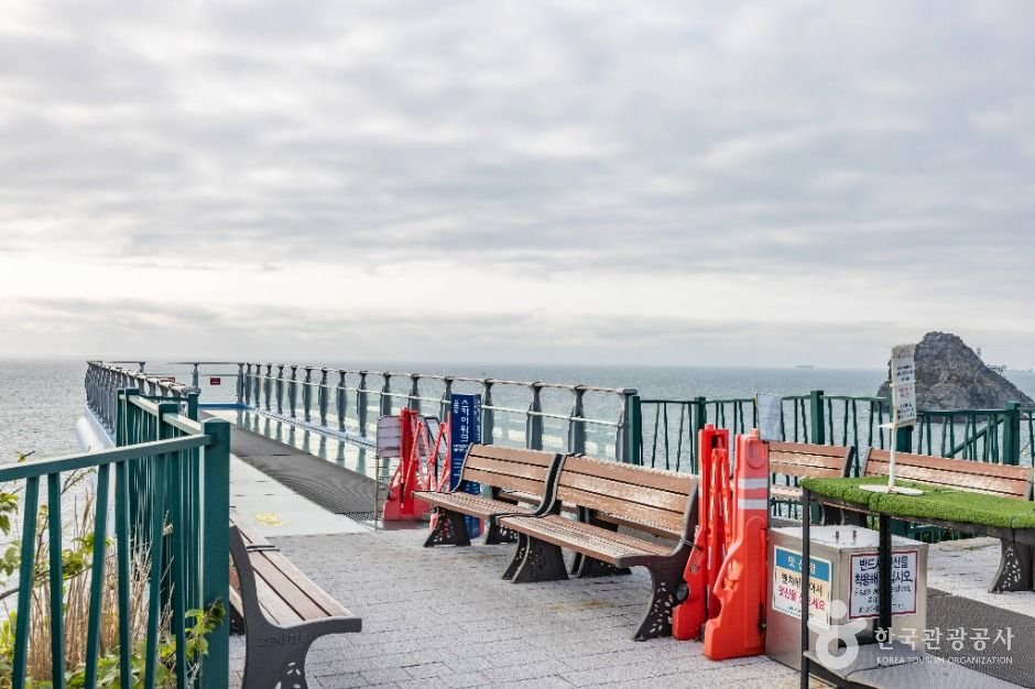
Oryukdo Skywalk is located at what was called Seungdumal, meaning a saddle, due to the shape of the point. It was also called Jallokgae by residents and haenyeo (female divers) in the area. The construction of Oryukdo Skywalk began on September 12, 2012, at the Seungdumal area, which is regarded as the dividing point between the East Sea and the South Sea, and the skywalk opened on October 18, 2013, with the theme of “walking over the sky. Iron columns were set up over a 35-meter-high coastal cliff, and a 15-meter glass bridge comprised of 24 glass plates and shaped like a horse’s hoof connect the iron columns. The glass flooring was made by four layers of 12-millimeter glass panels coated with a bulletproof film for a total thickness of 55.49 millimeters, making the structure quite safe. Visitors will be thrilled with the view of the waves while looking down through the transparent floor. The sea stretches out ahead of the skywalk, perfect for a photo op.
– Address : 137 Oryukdo-ro, Nam-gu, Busan
※ Presentation Information
– Information and Guides
Busan Namgu Facilities Corporation +82-51-601-3417
– Parking
Available
– Day Off
N/A (Open all year round)
– Operating Hours
October-May 09:00-18:00 (Last admission 17:50) / June-September 09:00-19:00 (Last admission 18:50) * Operating hours subject to change in the case of adverse weather


◎ Nearby Tourism Infobox
⊙ Haeparang Trail Course 1 (해파랑길 1코스)
– Homepage
www.durunubi.kr
The first course of Haeparang Trail is a coastal road connecting Yongho-dong, Nam-gu and Jung 2-dong, Haeundae-gu in Busan, starting from Oryukdo Sunrise Park, passing Gwangallihaebyeon Beach and APEC Beach, to Mipo. Not only can visitors enjoy the sea cliffs and the natural scenery of the East Coast, but also the splendid and bustling Gwangalli and Haeundae tours.
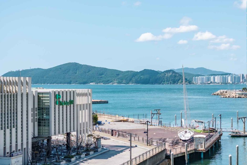
⊙ Oryukdo Sunrise Park (오륙도해맞이공원)
Oryukdo Sunrise Park, situated in the Yongho-dong area of Busan, offers a breathtaking view of the vast sea, especially in spring when the fields are covered with daffodils and canola flowers. Oryukdo Skywalk, a 15-meter-long glass bridge above the sea, provides the best view of Oryukdo Islets. This is also the place where the East Sea and the South Sea meet, known as Jallokgae or Seungdumal. Visitors can find a signboard below the skywalk marking the point where the east and south sea meet. From here, the Haeparang Trail stretches 770 kilometers along the East Sea and Namparang Trail stretches 1,463 kilometers along the South Sea.
⊙ Busan St Mary’s Hospital (부산성모병원)
Busan St. Mary’s Hospital, which is almost 20 years old, has 26 departments and 377 beds, with approximately 100 medical staff members and 700 employees.
The Specialized Pediatric Center provides differentiated medical services, with six pediatricians as well as specialists in urology, ophthalmology, orthopedics, surgery, rehabilitation medicine, and otolaryngology. The Hospice and Palliative Care Center, designated as a specialized palliative care institution by the Ministry of Health and Welfare in 2009, operates a hospice ward while providing home-based hospice care for patients who cannot be hospitalized.
In 2007, the hospital opened a sign language interpretation office, the first of its kind in Korea and the only one in Busan. Two professional sign language interpreters working at the office provide sign language interpretation services. Busan St. Mary’s Hospital is a leading medical institution in the community committed to providing optimum medical services to patients by understanding their needs.
⊙ Igidae Cliff [National Geopark] (이기대 (부산 국가지질공원))
– Homepage
www.busan.go.kr
Igidae Cliff is a geological park located along the southern coast of Busan. Formed by volcanic activity dating back 80 million years to the Cretaceous period, the accumulated lava, volcanic ash, and other rocks have been eroded by waves, creating cliffs, caves, and other formations. Along the coastal trail leading to Oryukdo, visitors can appreciate various geological and topographical landscapes, including copper mines and pothole.